


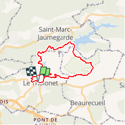
Les barrages du Tholonet

frizou83
User

Length
13.2 km

Max alt
384 m

Uphill gradient
460 m
Km-Effort
19.3 km

Min alt
180 m

Downhill gradient
458 m
Boucle
Yes
Creation date :
2014-12-10 00:00:00.0
Updated on :
2014-12-10 00:00:00.0
4h07
Difficulty : Easy

FREE GPS app for hiking
 SityTrail
IGN / Geographical institutes
SityTrail Plus
The world is yours!
About
Trail Walking of 13.2 km to be discovered at Provence-Alpes-Côte d'Azur, Bouches-du-Rhône, Le Tholonet. This trail is proposed by frizou83.
Description
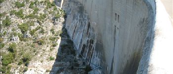
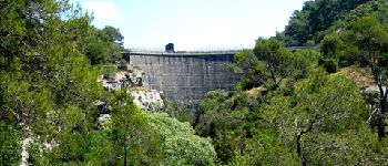
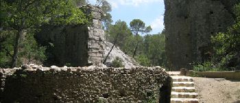
Circuit dans la réserve naturelle de la Sainte-Victoire au départ du Tholonet, en passant par les lacs du Bimont et Zola.
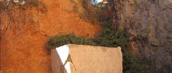
Photos


Positioning
Country:
France
Region :
Provence-Alpes-Côte d'Azur
Department/Province :
Bouches-du-Rhône
Municipality :
Le Tholonet
Location:
Unknown
Start:(Dec)
Start:(UTM)
702922 ; 4821869 (31T) N.
Comments